Events
25 March 2022 | Workshop Picturing Geography – Utrecht, NL (online)
Keynote by Dr Emily Hayes from Oxford Brookes University:
The Geographical Scene: the magic lantern in the discourse and discipline of fin de siècle British geography
Slide 31 of [The Alps] (lecture: Royal Geographical Society, at least 23 slides, 1896-1897)
Lucerna Magic Lantern Web Resource, lucerna.exeter.ac.uk, item 5111785.
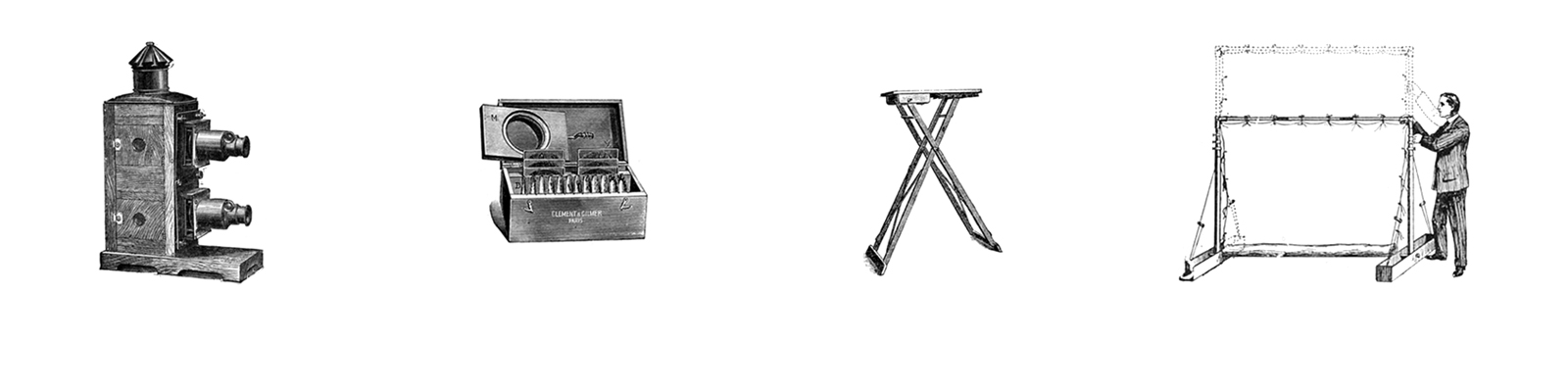
Geography was one of the fields that adopted projected images as a tool to disseminate knowledge relatively early. In Britain, the Royal Geographic Society introduced the optical lantern in the 1880s, followed by other institutions across Europe. Geographical knowledge, taken in its broadest sense, covers a field that stretches from the geosciences as an academic discipline to the promotion of touristic travel, from colonialist exploration and exploitation of conquered territories to scientific expeditions, from academic lectures to secondary school teaching. To discuss the role of the optical lantern in the transmission of geographic knowledge, the Utrecht University research teams of the’ B-magic’ and ‘Projecting Knowledge’ projects will organise a workshop.
At this meeting Dr Emily Hayes from Oxford Brookes University, who has studied extensively the use of slide projections by the Royal Geographic Society, will present a keynote entitled:
The Geographical Scene: the magic lantern in the discourse and discipline of fin de siècle British geography
What does the history of the magic lantern tell us about the historical geographies of geographical thought and practice in the final decades of nineteenth-century Britain? How can we use the historical geographies of the magic lantern to bring to light the entanglement of the sometimes differently dispersed and articulated, yet conjoined, phenomena of the discourse and discipline of geography in that period? The agency of the technology of the magic lantern has been shown to have featured in the University of Oxford Extension Scheme geography lectures, and to have played a part in bringing about the Oxford Readership in Geography. So too did the delineation of a discipline that would purportedly attend to the social questions of the day. Even after the Oxford Readership was established, popular geographical subjects, texts, maps, articles, lectures, performances, art works and dramas, flourished. Recent scholarship has also demonstrated the contingency of marginalized, arguably more idealistically and politically radical, geographers who also exerted a force upon the founding of the Readership and, before it, upon the educational activities of the Royal Geographical Society, London. As geographical materials, images and words, circulated between networked British and international savant societies and geographical practitioners and, in ways still little discerned, fashioned the projection of alternative constructions of space, time and human being, these phenomena were variously also entangled with transforming imperial and globalising identities and ambitions. This paper explores these questions in the fin de siècle, the not yet moment of the never has been one of modernity.